Pages

Cycling to Breda (Eindhoven-Tilburg-Breda) 123 km

Date- 15th July, 2018
Riders- Prasoon Garg and me (Deovrat Phal)
Route- Eindhoven PSV - Best - Tilburg - Breda (and back)
Distance- 123 km
GPX file: Download here
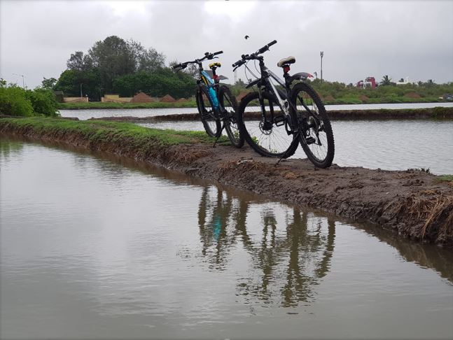
Entering Breda city
The plan to start early at 5.30 AM from Eindhoven University campus helped us escape the afternoon Sun and additional efforts to carry extra water and food. Eindhoven city looked deserted, similar to an after-math of zombie apocalypse, with close to zero motor traffic on the roads. Route till the Eindhoven golf course had several traffic lights with one at Batadord near the Wilhelminakanaal (name of the canal, given after an influential Dutch Queen Wilhelmina). Batadorp to Tilburg is a stretch of 23 km with just 2 traffic-lights and some segments with red-asphalt, giving a phenomenal experience of cycling in a paradise. Getting to Bredasweg was a bit tricky with the roads being dug-up at a few places. Several detours and cobbled-paths costed us a few extra minutes. Route also passes a railway-crossing. Approaching Breda along Bredasweg was a straight route with couple of traffic lights. It is titled F58, a fast cycle route from Tilburg to Breda (fast, because it has minimal traffic lights).


The total length of the Wilhelminakanaal is 68 km, starting from Zuid-Willemsvaart (another canal) in Laarbeek to the river Amer in Geertruidenberg (both are municipalities in the province of Noord-Brabant in the Netherlands). The construction of this canal dates back to 1923, with the plans drafted somewhere in 17th century [Source] [Source] Given its importance and serene location, many campsites, fietscafe (a dutch word for cafe-for-cyclists) etc. have popped up along the route at locations closer to the main town. 


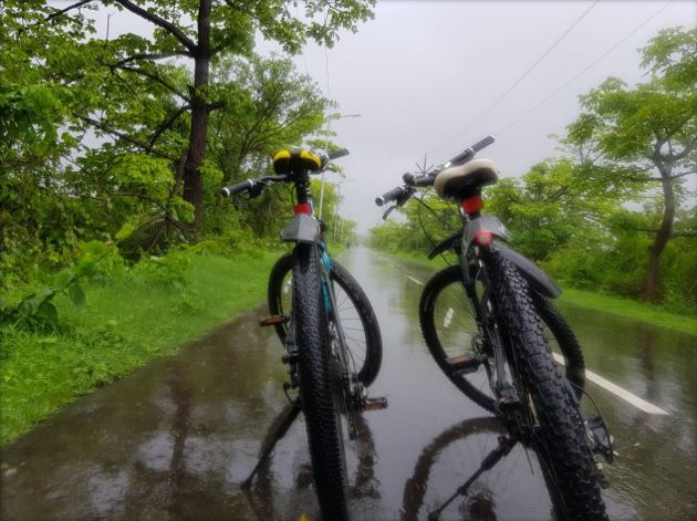
The fast-lane cycle-track
In case you are wondering why I counted the traffic-lights, it was because its quite commonly discussed parameter when cycling long distances here. Riders prefer to cycle non-stop, and a traffic-light that appears out of nowhere is bound to reduce the pace of cycling. You brake suddenly, lose rhythm, costs extra energy to catch and maintain that pace again.

Wilhelminakanaal in the early morning
On our way back, we came across many cyclists, some riding solo, some riding in a group, some old people on their electric-bikes and some (annoying) scooters speeding above 45 kmph. A law in Netherlands prohibits scooters to exceed 25 kmph on a fietspad (dutch word for cycle-track). Of-course, a race-bike can overtake a scooter anytime! A dutch website Scooteroverlast had made a nice poster about the scooter-menace.

Source: Scooteroverlast  Click here
The journey of 123 km was easily achieved under 5.30 hrs with enough time for enjoying the beauty and nature on the way. The 1 ltr water and few dry-fruit-bread slices were sufficient for keeping us fueled. With this ride, Prasoon complete his first 100 km distance. 

Cycling in Gorai- The most underrated place in Mumbai

Author- Nikhil Phatak
Date- 24th June 2018
Riders- Amar Pendurkar, Nikhil Phatak
Route- Gorai-2 - National Park - Kanheri caves - Gandhi Tekadi - Mira road- Bhayandar- Uttan- Gorai Beach- Gorai Village- Gorai-2
Distance- 50 km

Located in northwestern part of Mumbai is a place called Gorai. 400092, a very interesting pin code that comes under Borivali West, a literal boundary of Mumbai. Gorai is divided in four parts. Gorai village, Gorai-1, 2 & 3, Gorai village is accessible via ferry boats from “Gorai khadi” which is the end point of Borivali west. From Gorai khadi you can either opt for a ferry ride towards Essel world and water kingdom or towards Gorai village. Ferry frequency is extremely good and operational even in monsoon as Gorai khadi is quite stable. You can take your two wheelers and cycles on ferry only if you are going towards Gorai village. No vehicle is allowed towards essel world. Ferry charges for Gorai village are nominal, 15 Rs (as on 24th June 2018) for a single journey. Another approach to access this beautiful land is outside Mumbai via Mira-Bhayandar-Uttan road which is indeed a long route.
Schnell Fang 27.5"
Gorai-1, 2 and 3 are mostly urban areas which come under Borivali west and are well developed with Metro projects, link roads and highways reaching every sector nowadays. As opposed to Gorai village which is covered under lush green vegetation, dense forest and mangrove swamps. It is pleasantly cold in winters, covered in fog during monsoon. Very good and clean beaches and wonderful resorts are within minutes walk. Places like Global Pagoda and Vipasana center makes it serene and add spiritual importance to this. Living in Gorai is a blessing. Dense forest of national park is accessible within 5 kms of radius. All of this you can enjoy living in Mumbai. When you visit this lace you would not believe it if I don’t tell you that it’s a part of Mumbai. So Amar and me, we decided to explore this area on our MTB’s. On 24th June 2018 under overcast and cold conditions we started our morning ride. 

A very pleasant route with diverse terrain
Journey starts with an urban area if you start early on Sundays you will not get any traffic. After 6 kms you will reach Sanjay Gandhi National park (road from Gorai-to Borivali is in extremely good condition) there you have to buy 53 Rs entry ticket. From park entrance till kanheri caves, road is fairly good with slight combination of uphill & downhill terrain. Last 1 km patch towards Kanheri caves is moderately challenging. When you return from Kanheri, do take a right turn near the entrance of the park and head towards Gandhi tekdi, road is completely uphill and challenging for the last few meters.

At Gandhi tekdi
Note- Please note that there are proper railings and supports at this point, this is photographed at a particular angle to capture complete landscape and the portrait of me, all safety aspects were considered while clicking this photograph

After you return at SGNP gate head towards Mira road-Bhayandar and take a left turn towards Uttan road which will take you on another side of Gorai once you cross the bridge. In Gorai village you can visit Gorai beach which is very close to the road. Terrain is extremely good and green roads are excellent with proper markings and boards for directions, Traffic is almost none. After exploring that area which includes (Global Pagoda, Gorai beach, Essel world, Water kingdom, Keshav shrushti etc)

Firefox 29"
Once you are done exploring the area, head towards Gorai village jetty and board return ferry to Gorai-2 where our 50 km circuit got completed. Active time was 2.5 hrs total time taken was 4 hours trip was done without any targets just to explore the area. Please find following images for our experience of monsoon early morning cycle ride


This road is going through a farm, it’s completely slippery with thick cover of Mud, main motorable road passes nearby, and this photo is taken only to capture scenic beauty of surrounding terrain

Motorable road- pleasant experience for cycling

Amar and me (Nikhil)
Amar Pendurkar (with helmet) and me. Return Journey via ferry, patch between 47th and 48th leg of our journey (refer map)

Our most recent adventure...

Chanderi fort trekking

Date: January 2021 Trek type: Jungle fortress, 714 m Difficulty: Walking on moderate to difficult terrain (no rock-climbing) Availability of...